Location and trainborne signals
Qualify position, time and progression together, including when signals are imperfect or incomplete.
MBDD-Solutions
We design solutions that turn sensor data and infrastructure references into railway information that teams can understand, review and use.
Our role
A coordinate or measurement is not always enough to answer a railway question. We turn sensor measurements into concrete railway information: line, track, kilometre point and infrastructure context.
Every conclusion remains accompanied by its evidence, reservations and the points still requiring review.
Qualify position, time and progression together, including when signals are imperfect or incomplete.
Associate measurements with lines, tracks, kilometre points and operational assets in a versioned reference.
Produce explainable results, visible limits and deliverables that operational teams or information systems can use.
Experience and milestones
MBDD-Solutions has developed its trainborne location work into a complete product for qualifying railway journeys. This continuity brings together sensor data, network topology, operational references and auditable evidence.
How we work
A sound railway result depends on readable evidence, a clear scope and outputs that teams can use directly.
The data, its coverage and the reference connect every result to verifiable elements.
Results are delivered as journeys, lines, tracks, kilometre points, assets and sections requiring review.
Outputs are designed to be reviewed, compared, replayed and integrated into team tools.
The product
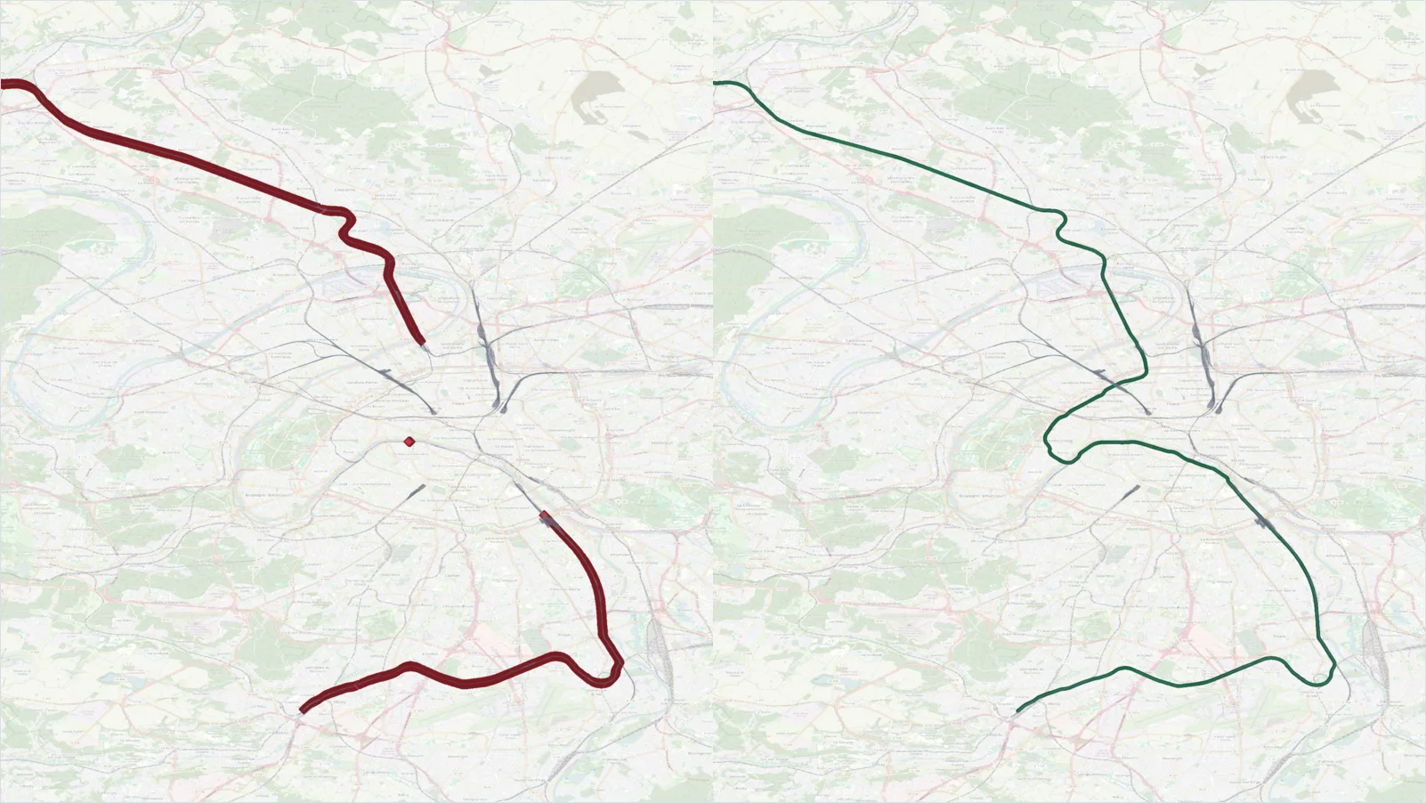
It compares sensor observations with infrastructure references to produce directly usable railway information: journey, line, track, kilometre point and infrastructure context.
Observations from a train are not always enough to identify the track actually travelled without ambiguity. Yards, junctions, tunnels or degraded signals can make several journeys compatible with the same measurements.